HydrographIc SURVEY SERVICES
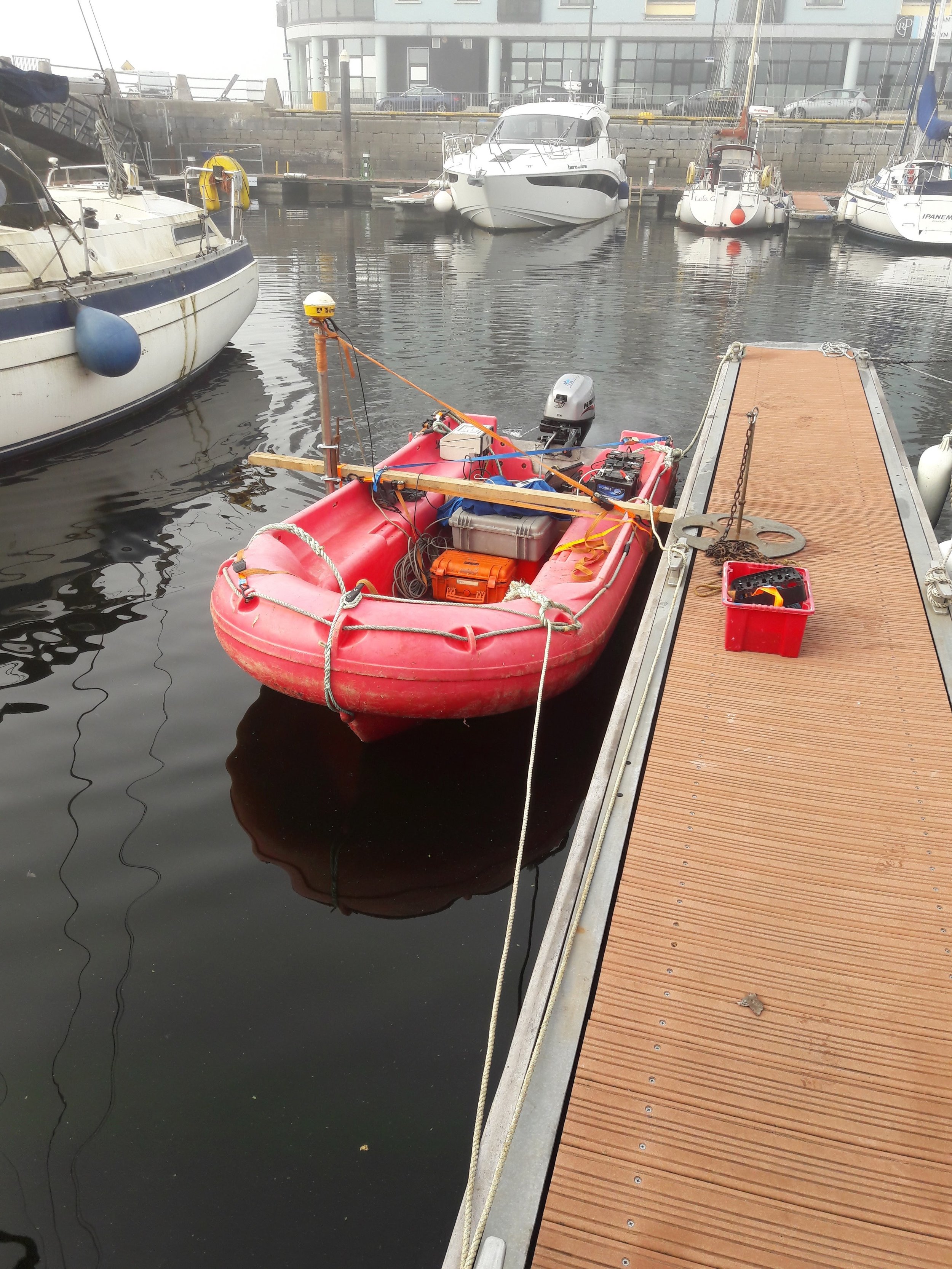
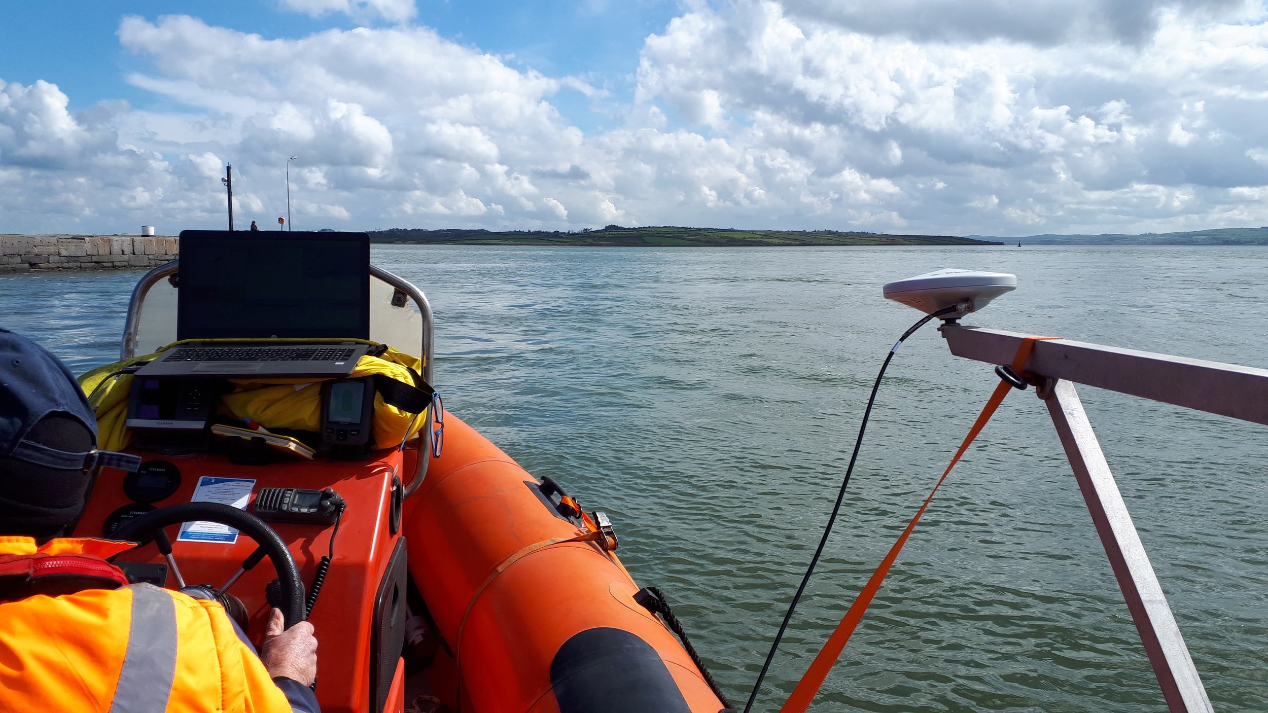
We have been providing bathymetric survey solutions to our clients for the last 40 years and have seen the industry change drastically. We started in the time of hand drawn maps and trisponders and now look forward to the future of hydrographic surveying using the latest GNSS and echo-sounding technologies. We have been involved in dredging campaigns across the UK, Ireland and Europe and have worked closely with all the leading dredging contractors. Among our capabilities are the following:
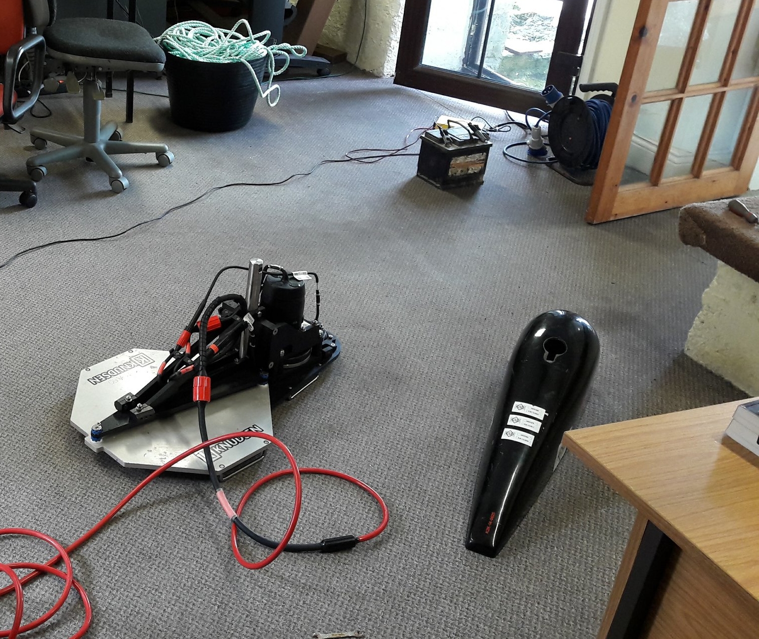
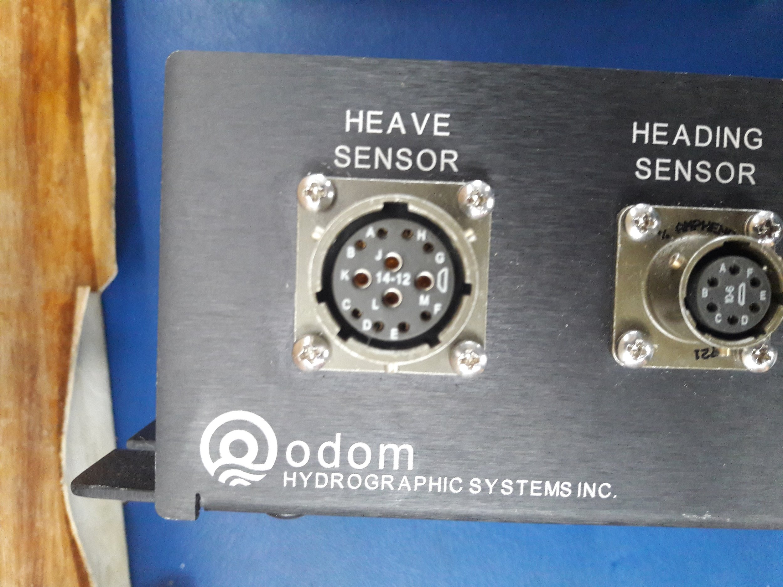
High Resolution Multibeam
Single beam
Side scan sonar
Magnetometer
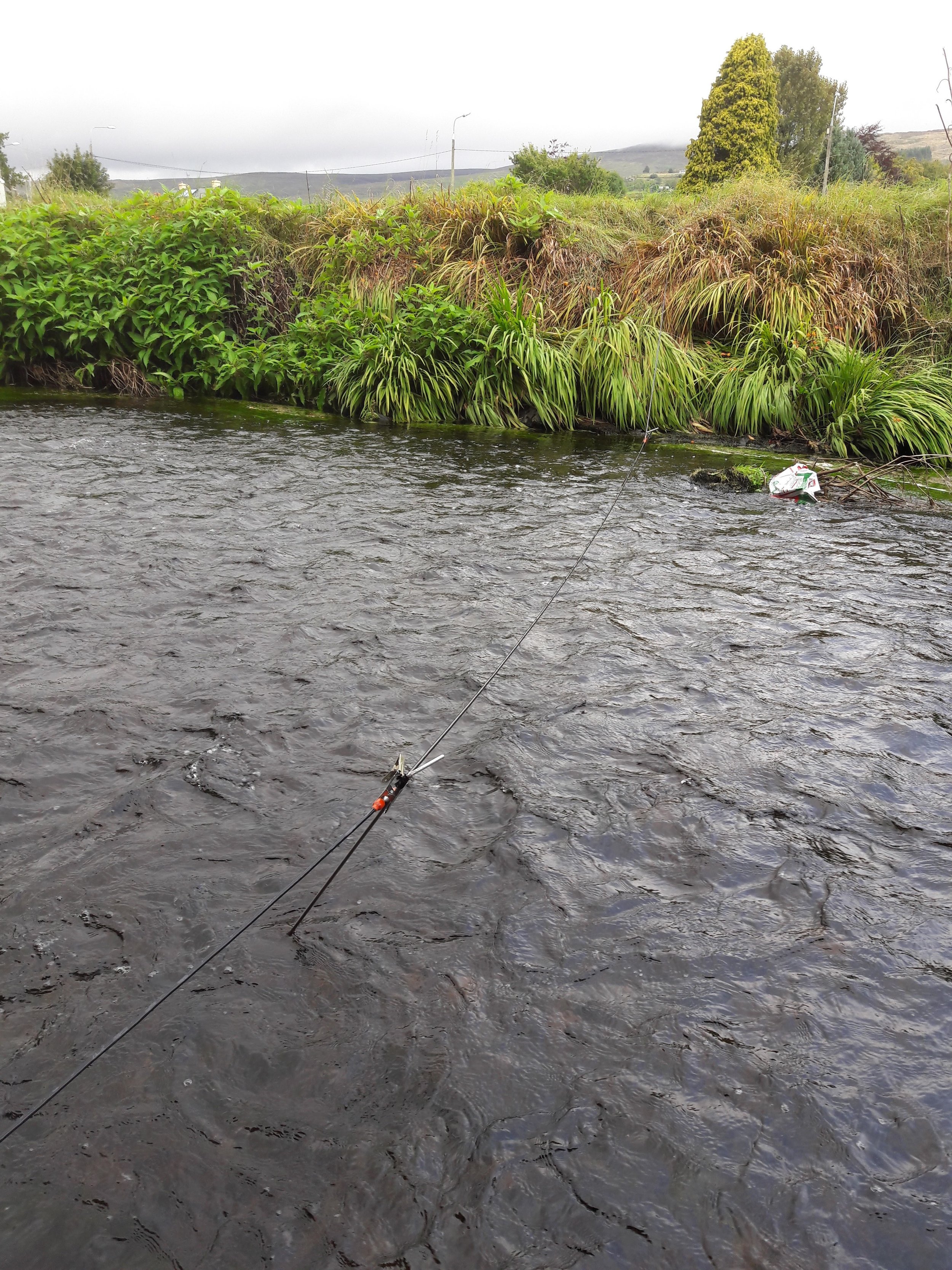
River bed surveys, including river velocity
GEOPHYSICAL SURVEY SERVICES
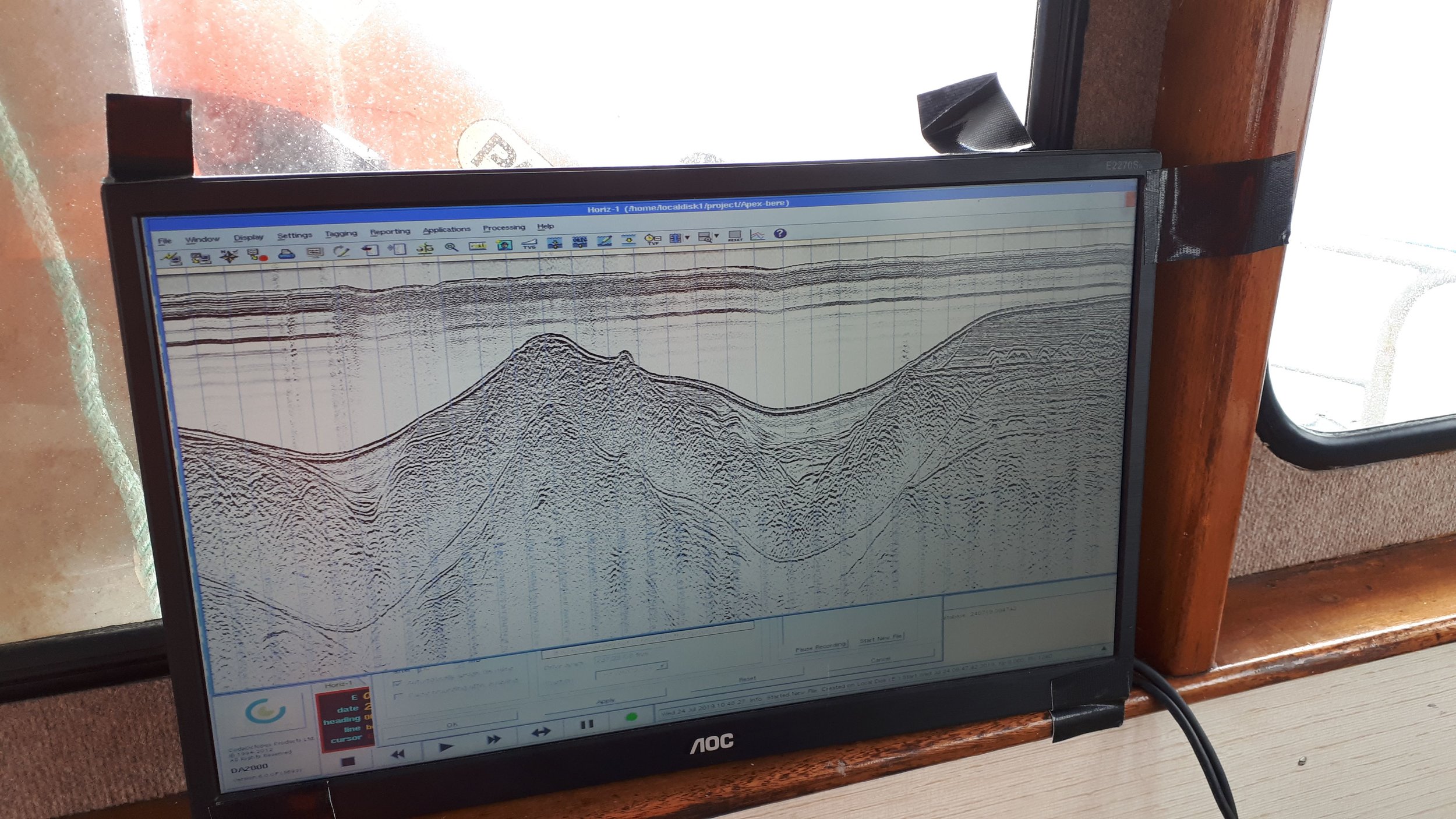
Our in house geophysicists have a strong experience in a multitude of geophysical data processing techniques and data interpretation. We conduct geophysical surveys to aid your engineering project, reducing cost and risk.
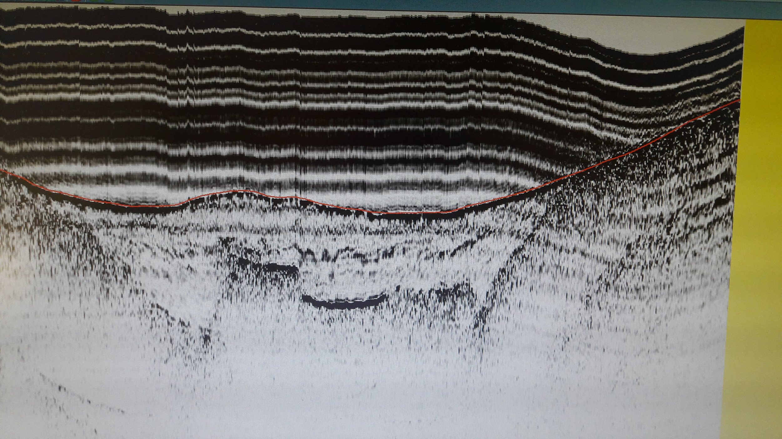
Near shore reflection seismic surveys
Near shore refraction seismic surveys
MARINE ENVIRONMENTAL SURVEY SERVICES
In today's word environmental monitoring has never been so important. We provide a combination of data acquisition, project management, survey and consultancy services. We have an in depth knowledge of Irish Dumping at Sea legislation and permitting and have successfully procured a number of licenses for our clients.
Among our survey solutions to environmental problems include:
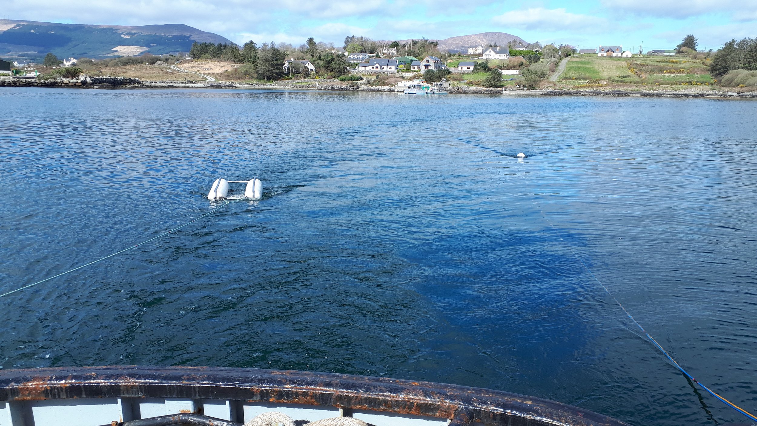
ADCP and direct style current metering, static and transect style.
Turbidity monitoring, transect and fixed buoy style.
Temperature and salinity measurements.
Tidal recording and tidal prediction.
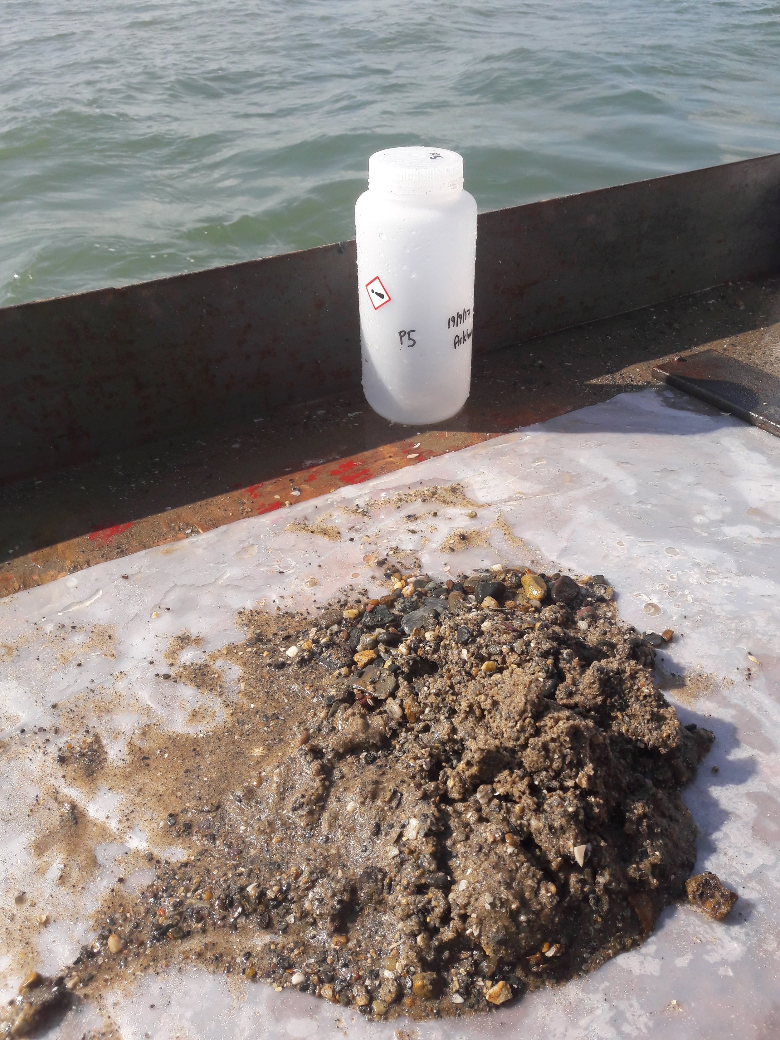
Sea bed sampling and sediment analysis to Marine Institute specification.
Volumetric analysis of sea bed change.
“RPS has been using the services of HSL for marine geophysical and marine hydrographic work for more than 10 years and have always been completely satisfied with the quality and professionalism of the service they provided.”
“I have been using the services of HSL for marine hydrographic (multibeam and single beam) and land topographical work over the past 10 years. They have supplied many different work in our desired format and I have always been completely satisfied with the quality and professionalism of their work.”


